How can 3D visualisation support planning protection for heritage sites
-
 Email
Email
-
 Facebook
-
 Linkedin
-
 Twitter
-
 Whatsapp
27 January 2023
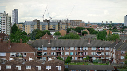
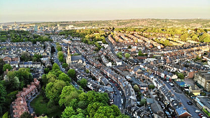
How can 3D visualisation help balance the delivery of development while considering Britain's unique heritage, particularly in cities like Oxford and Cambridge? The UK's large towns and cities can be a battleground when it comes to heritage issues. How can 3D visualisation help projects 'fit' into tricky city areas that may bring up skyline or obstruction concerns? Heritage groups are known for their passion for protecting sites - how can 3D visualisation help engage built environment heritage groups as well as collaboration between other stakeholder groups, and contribute to solving some of their concerns? Is there a need for government to legislate for digital planning tools for projects that concern heritage or listed sites? Local councils are hard-pressed - can 3D visualisation help them speed up, understand, and save costs on planning processes that concern heritage?
Nikki Webber speaks with Andrew Knight as they discuss how 3D visualisation can support the planning process and protect UK heritage sites and cities.
More information regarding the Tech Partner Programme and our partner VU.CITY can be found at www.rics.org/techpartner